A multidisciplinary research team from the College of Science, KNUST has secured an international research grant to expand and validate a coastal early warning system along Ghana’s Keta coastline, one of West Africa’s most erosion-prone areas.
The award was received under the World Bank-financed WACA ResIP Programme of the Regional Partnership for the Conservation of the Coastal and Marine Zone in West Africa (PRCM).
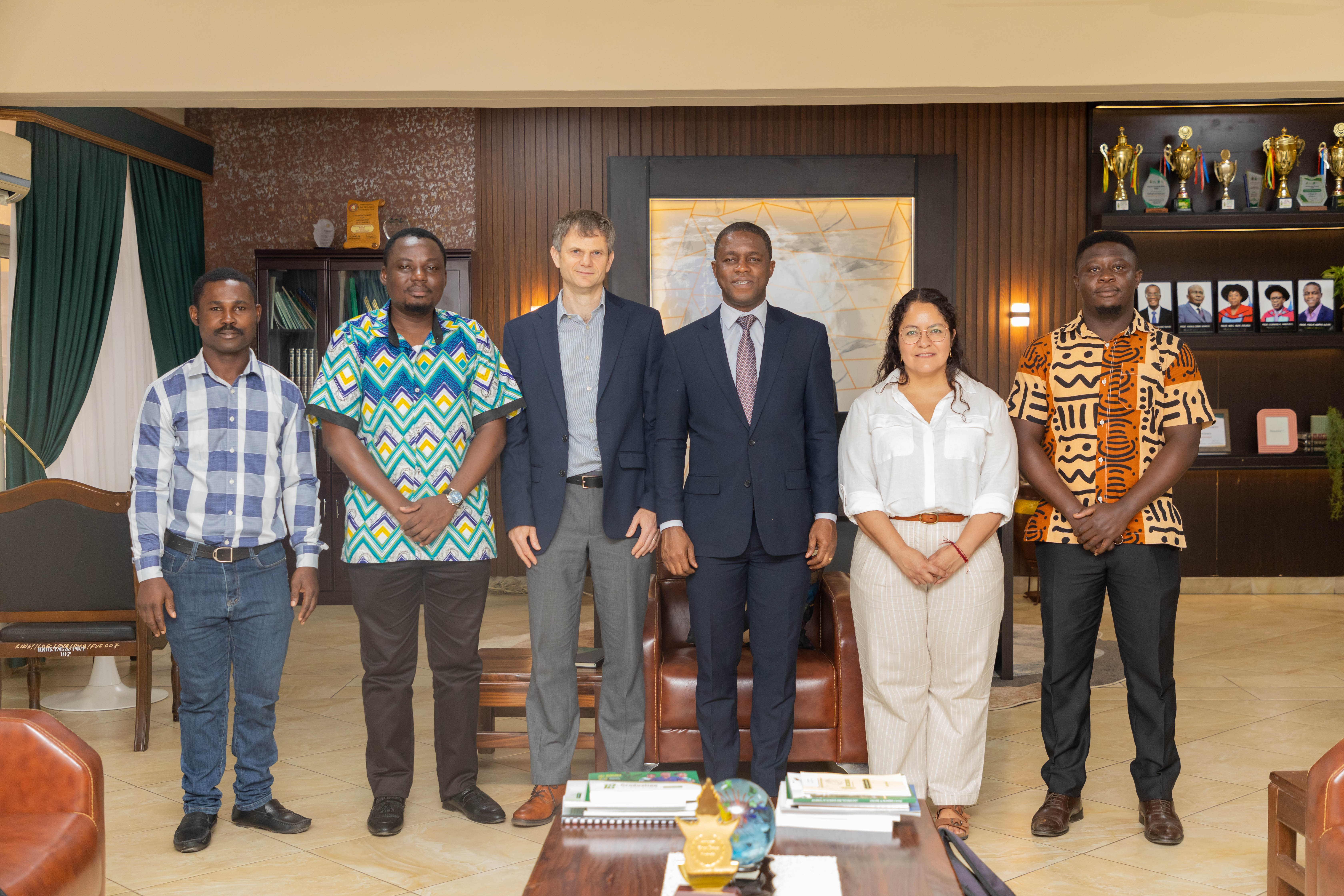
The research team led by Dr. Cyril Dziedzorm Boateng includes Dr. Michael Kweku Edem Donkor, a senior lecturer in physics and instrumentation specialist at KNUST; Prof. Leonard Amekudzi, a professor of atmospheric and climate science; and Dr. Selasie Avornyo, a coastal morphodynamics and remote sensing specialist and postdoctoral researcher at the University of Ghana.
The 18-month project, titled “Strengthening Coastal Resilience in the Keta Coastal Enclave: Expanding Tidal Monitoring Networks and Validating Early Warning Systems Through Ground-Truth Integration,” seeks to improve flood forecasting and coastal monitoring in vulnerable communities along the Volta Region shoreline.
The project builds on the TIDEKIT initiative, funded by the Office of Naval Research Global and the U.S. Army Corps of Engineers, which Dr. Boateng has led at KNUST since 2023.
Under TIDEKIT, researchers designed and deployed a low-cost Integrated Coastal Monitoring (ICM) tidal gauge unit in the Keta enclave. The solar-powered system demonstrated the ability to provide accurate, real-time sea-level and meteorological data in harsh tropical coastal conditions.
The new WACA-funded project will scale up the technology by deploying three additional ICM units in previously unmonitored areas. The systems will incorporate LiDAR sea-level sensors, GNSS reflectometry, atmospheric pressure and humidity sensors, and thermal imaging technology.
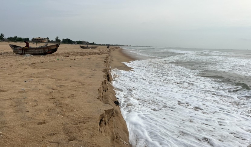
The Keta coastal enclave is among the most severely eroded shorelines in West Africa, with some sections retreating by as much as 16 metres annually. Coastal erosion and flooding have threatened heritage sites, including Fort Prinzenstein, a UNESCO World Heritage Site, as well as the livelihoods of fishing and trading communities.
Despite the construction of sea defence infrastructure over the years, communities in Keta continue to face flooding risks. Researchers say existing early warning systems in the sub-region rely heavily on satellite-derived data that has not been sufficiently validated through ground-based measurements.
The project seeks to address that gap by establishing an expanded monitoring network and collecting six months of continuous tidal and meteorological data. An open-source, real-time dashboard will also be developed to visualise and share the data.