The sun was mild but biting as is typical of the southeastern coast of Ghana. For a second, all stood still then the air was punctuated by pure unadulterated Ewe. An invitation to the ancestors to be present to hear the words of their descendants. The words were interspersed with plentiful amounts of akpeteshie, schnapps, and a soda drink. The libation was an offering to pave the way for the prayers the elders of the house were offering. Visitors have made it to the royal household of Sape Agbo. Permission was being sought to deploy geophysical equipment in the compound of Koku Mensah, the great warrior of Hedzranawo.
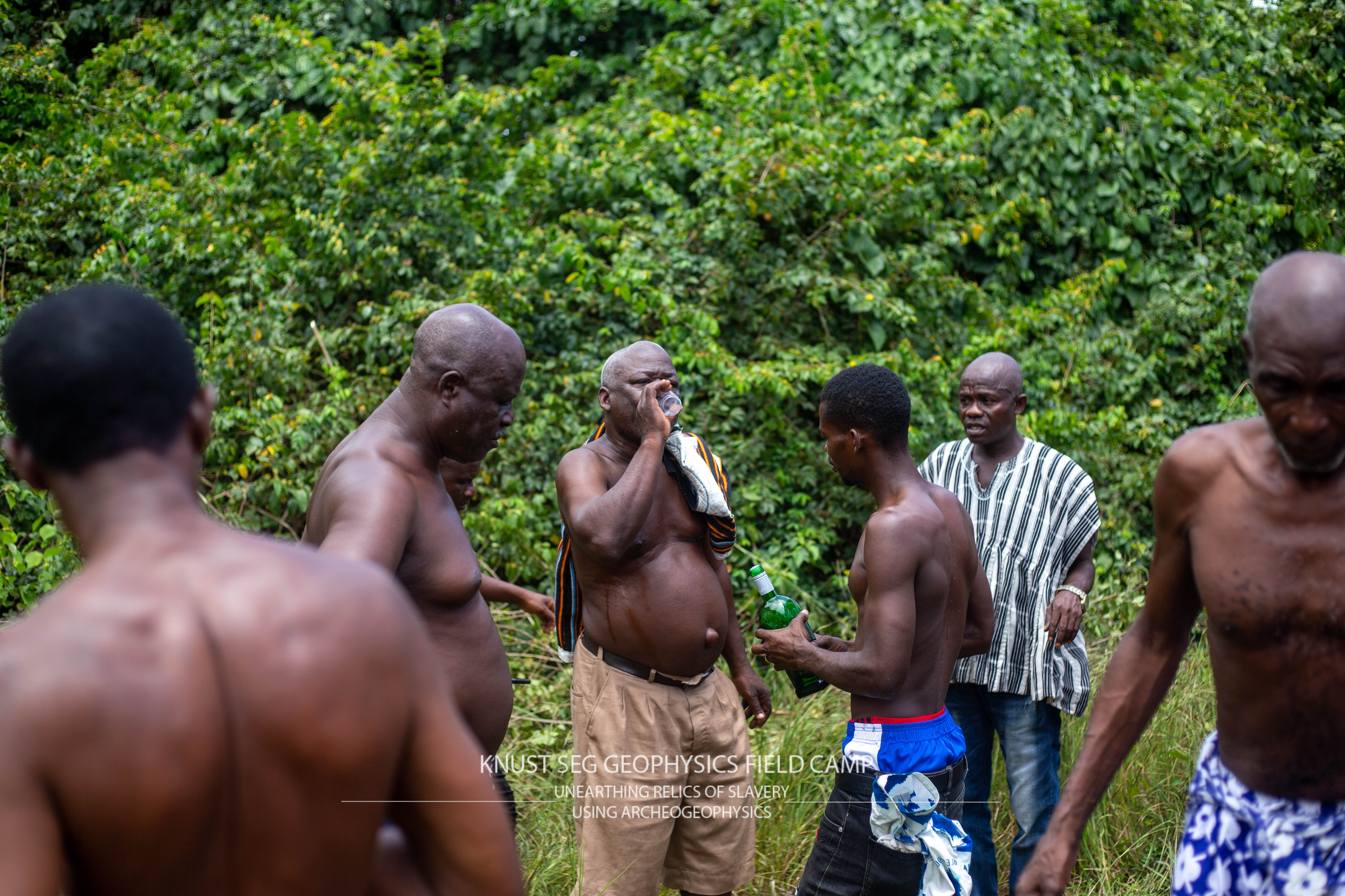
The reason for the gathering of researchers, students, and the descendants of the great warrior was for science. The team had gathered in the royal household on a project to investigate historical slavery in southeastern Ghana. The project involved a field camp to train geoscience students from universities in the sub-region (Ghana and Nigeria) and to acquire geophysical data to discover relics of slavery such as shackles, rifles, unearthed remains, pottery, beads, and evidence of cultural practices which help throw light on their living conditions of slaves. Stories passed down in the Sape Agbo lineage tell a tale of a family that was a significant player in the slave trade. First as protectors of slave merchants and then later as merchants themselves. On the abolishment of slavery by the British, oral accounts point to the burial of the tools of the slave trade such as shackles and chains by the family in one of the courtyards of the household. But no one knows exactly where the items were buried. The household has been in existence in one form or the other since the 1700s. The compound measures approximately 100 m by 80 m in size and is divided into six courtyards.
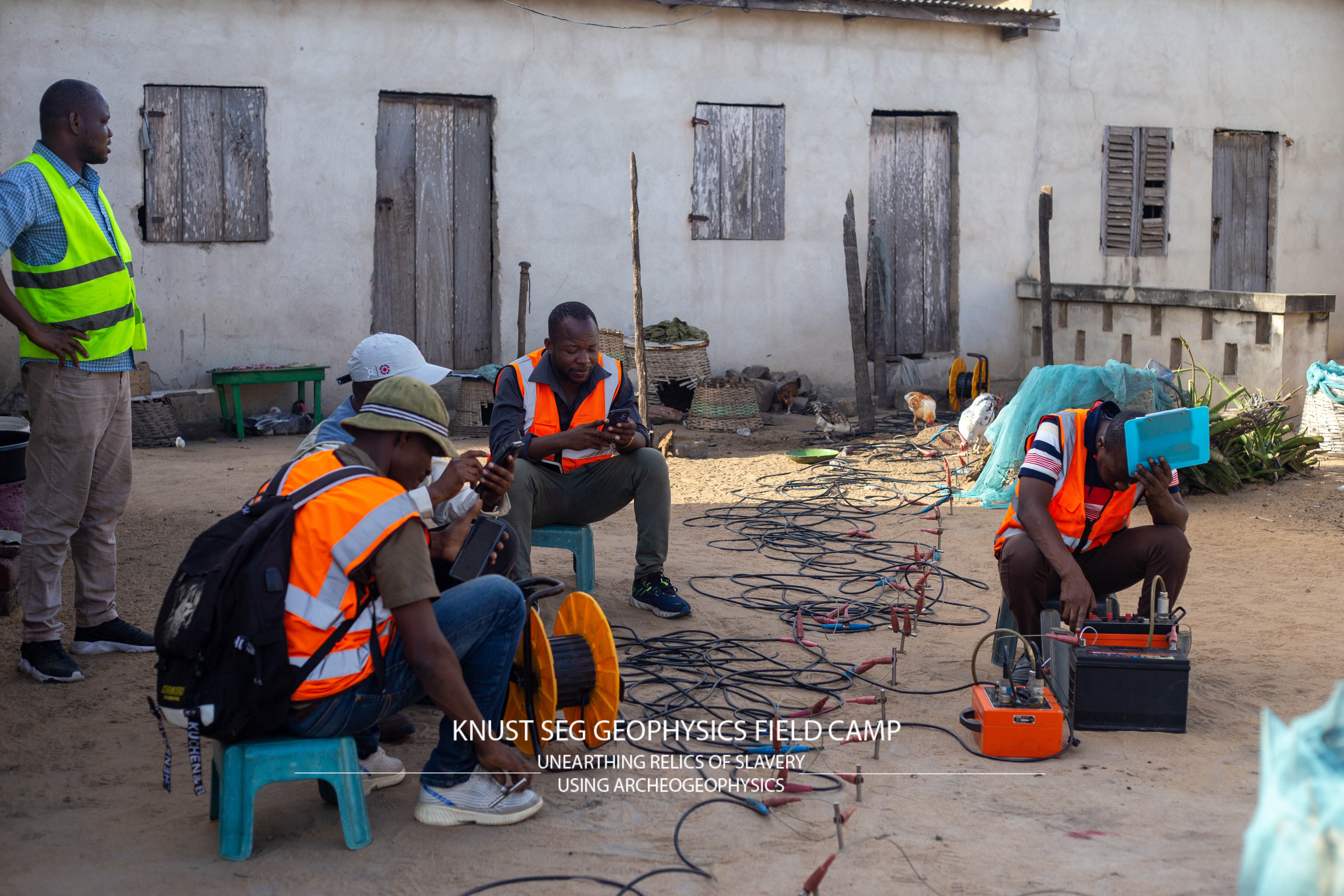
To image the subsurface and locate the buried relics of the slave trade geophysical tools such as the magnetic, resistivity, and Ground Penetrating Radar methods were used. Each geophysical method is based on a specific physical property. The magnetic method is based on the spatial variation in the Earth’s magnetic field. It is particularly well suited to identifying archeological remains. The resistivity method depends on a material in the ground’s opposition to the movement of current. A resistivity meter records localized variations in current flow and therefore resistance between metal probes inserted into the ground surface. Ground Penetrating Radar (GPR) is a widely used technique in geoarchaeology, which allows the detection of features in the subsurface that cause a change in the propagation of electromagnetic energy. Electromagnetic waves with a fixed frequency are sent into the subsurface and a portion is reflected by variations in the material properties of the subsurface.
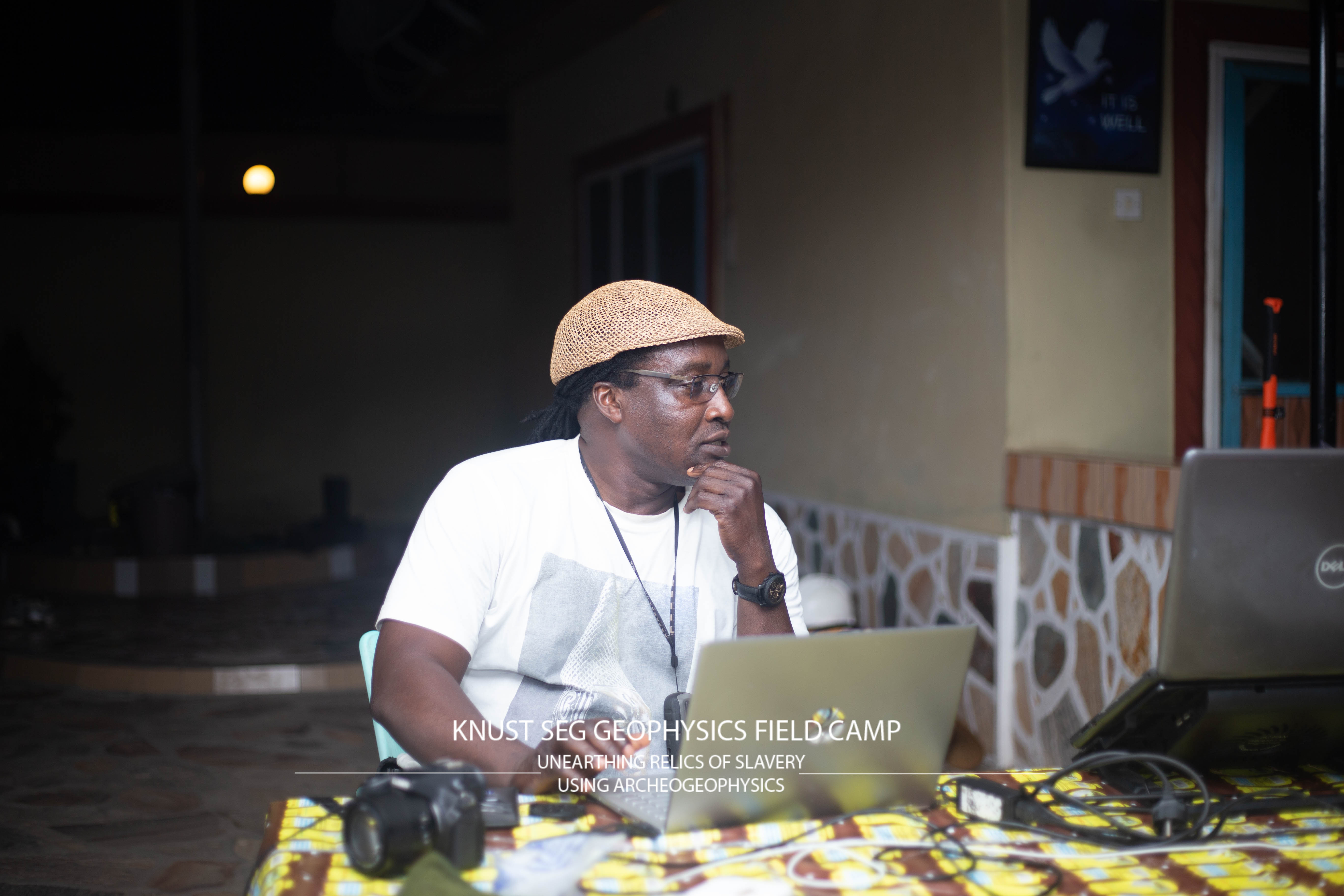
The project is a collaboration between the Department of Physics, Kwame Nkrumah University of Science and Technology, and the Department of Archeology and Heritage Studies, University of Ghana. It was funded by the Society of Exploration Geophysicists (SEG) Foundation. Speaking on the project, lead researcher, Dr Cyril D. Boateng said the project was very important not only because of the scientific value, but the impact in terms of the practical training for students, outreach to senior high schools and historical records that will be built based on research output”.
Prof Wazi Apoh, a co-researcher on the project and Dean of the School of Arts, University of Ghana reiterated the need for this kind of research because the archeology of slavery is important to strengthen our understanding of the history and impact of slavery and its aftermath.